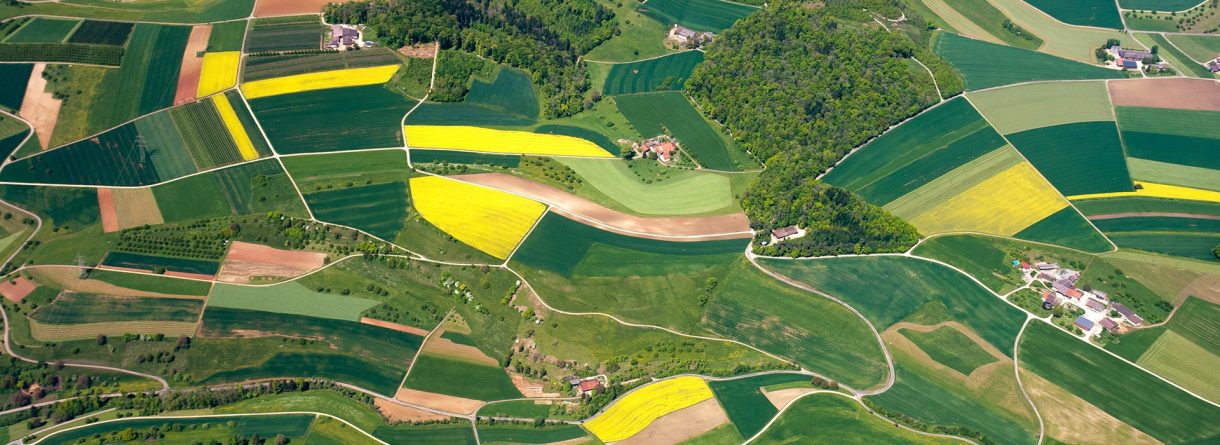
SMOS satellite provides global mapping of soil moisture every 3 days with a spatial resolution of 40 km. Soil moisture is a key parameter for developing agricultural strategies and in the hydrological models to manage water resources, although SMOS data can not be directly used because of its low spatial resolution. The aim of the SMOScat project is to disaggregate SMOS soil moisture in order to provide soil moisture maps at high spatial resolution (up to 500m).
L band passive microwave Earth remote sensing data (SMOS) has the highest sensitivity to soil moisture, however its spatial resolution is rather low. On the other hand, optical remote sensing has a higher spatial resolution, however its sensitivity to soil moisture is not optimal. The merging (fusion) of these two sources of information provides a soil moisture product at an intermediate spatial resolution more adequate to hydrological applications.
References:
O. Merlin, M. J. Escorihuela, M. Aran-Mayoral, O. Hagolle, A. Al Bitar, and Y. Kerr ″Self-calibrated evaporation-based disaggregation of SMOS soil moisture: an evaluation study at 3 km and 100 m resolution in Catalunya, Spain″ Remote Sensing of Environment, 130, pp 25–38, doi:10.1016/j.rse.2012.11.008, 2013
M.J. Escorihuela, D. Martínez, P. Quintana ,O. Merlin, M. Arán and I. Buenvarón “SMOScat: High Resolution Soil Moisture monitoring with SMOS data”, SMOS Science Workshop, 27-29 September 2011, Arles, France
P. Quintana-Seguí, J.J. Salas Pérez, M.C. Peral, M. Turco, M.C. Llasat, and E. Martin “Validation of the SAFRAN meteorological analysis system in the northeast of Spain” European Geosciences Union, 22 -27 April 2012, Viena
M.J. Escorihuela, O. Merlin, A. Escorihuela, P. Quintana, D. Martinez. ‘SMOScat: Towards operational high resolution soil moisture with SMOS’ IEEE Geoscience and Remote Sensing Symposium 22 - 27 July 2012, Munich
Project co-financed by the ERDF under the Operational Programme for Catalonia 2007-2013.